MSc Research · UBC · 2024–2026
BuVM
Boreal Understory Vegetation Modelling
Investigating the drivers of shrub expansion across the boreal forest of the Yukon Territory using landscape-scale species distribution modelling, field vegetation surveys, and remote sensing data.
Overview
The boreal forest is one of the largest and most climate-sensitive biomes on Earth, spanning high-latitude regions across North America, Europe, and Asia. It plays a crucial role in global carbon storage, climate regulation, and biodiversity conservation.
Climate change is driving widespread transformations in boreal ecosystems, including shifts in species composition, vegetation structure, and disturbance regimes. Among these changes, increasing shrub dominance has emerged as a key ecological trend with cascading effects on wildlife habitat, carbon sequestration, and feedbacks to the climate system.
Despite growing recognition of shrub expansion, critical knowledge gaps remain regarding the mechanisms driving these shifts and their future trajectories under continued warming. My research addresses these gaps through two stand-alone manuscripts.
Research Questions
What is currently understood about shrubs in the boreal forest, how are they changing with climate, and why?
How can we use landscape-scale species distribution models to understand the drivers of shrub movement and project alternative scenarios under climate change?
Manuscripts
Boreal shrub dynamics — a synthesis
In prepA review of current knowledge on boreal shrub dynamics, integrating ecological theory, field observations, and remote sensing data to assess patterns of change and their underlying drivers.
Modelling boreal understory vegetation change across latitude
In prepSpecies distribution modelling of 19 shrub species across the Yukon Territory, identifying key environmental predictors (temperature vs. moisture) and projecting future distributions under alternative climate scenarios using CHELSA climate data and Landsat ABoVE tree canopy cover.
Methods & Data
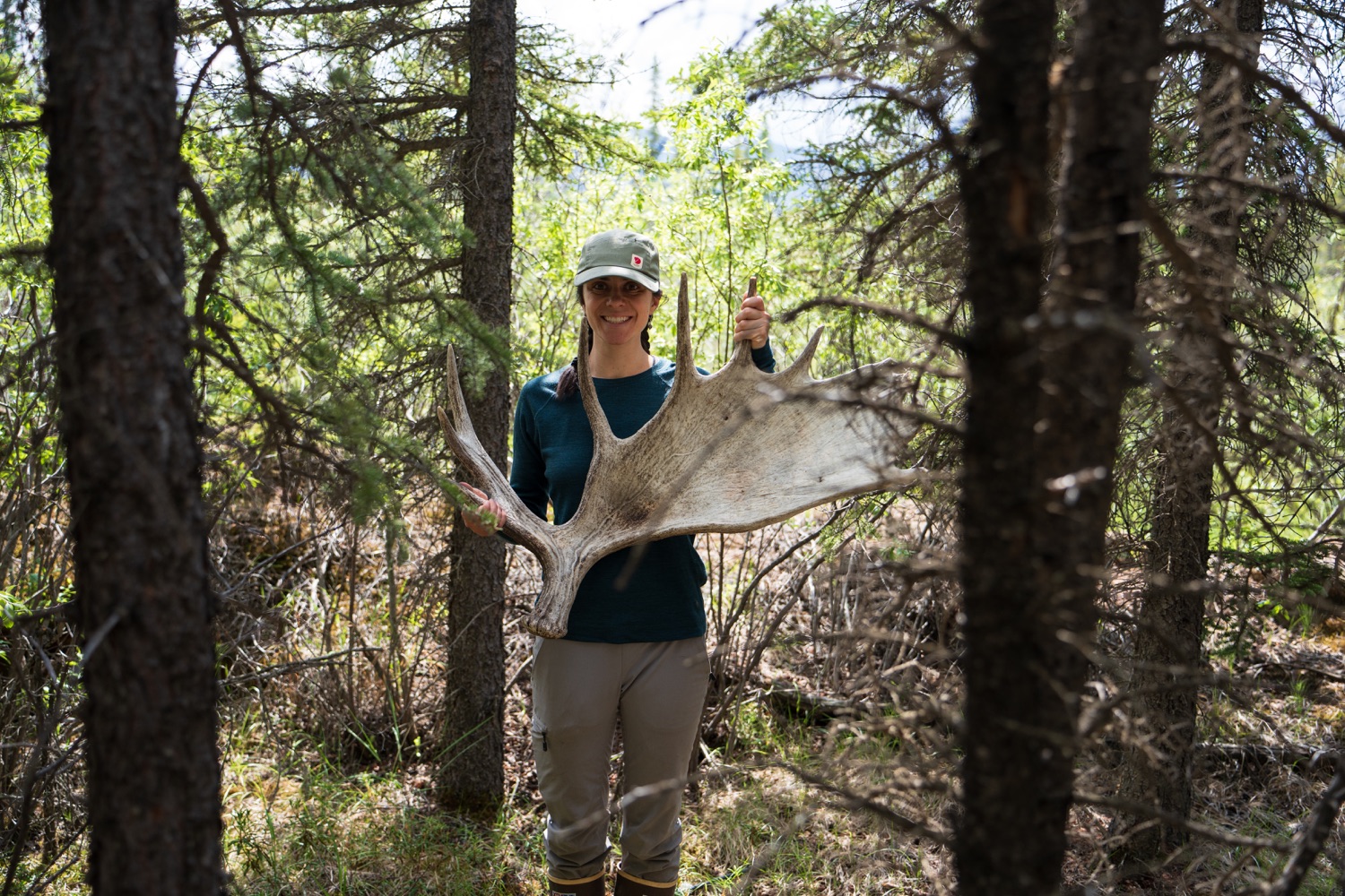
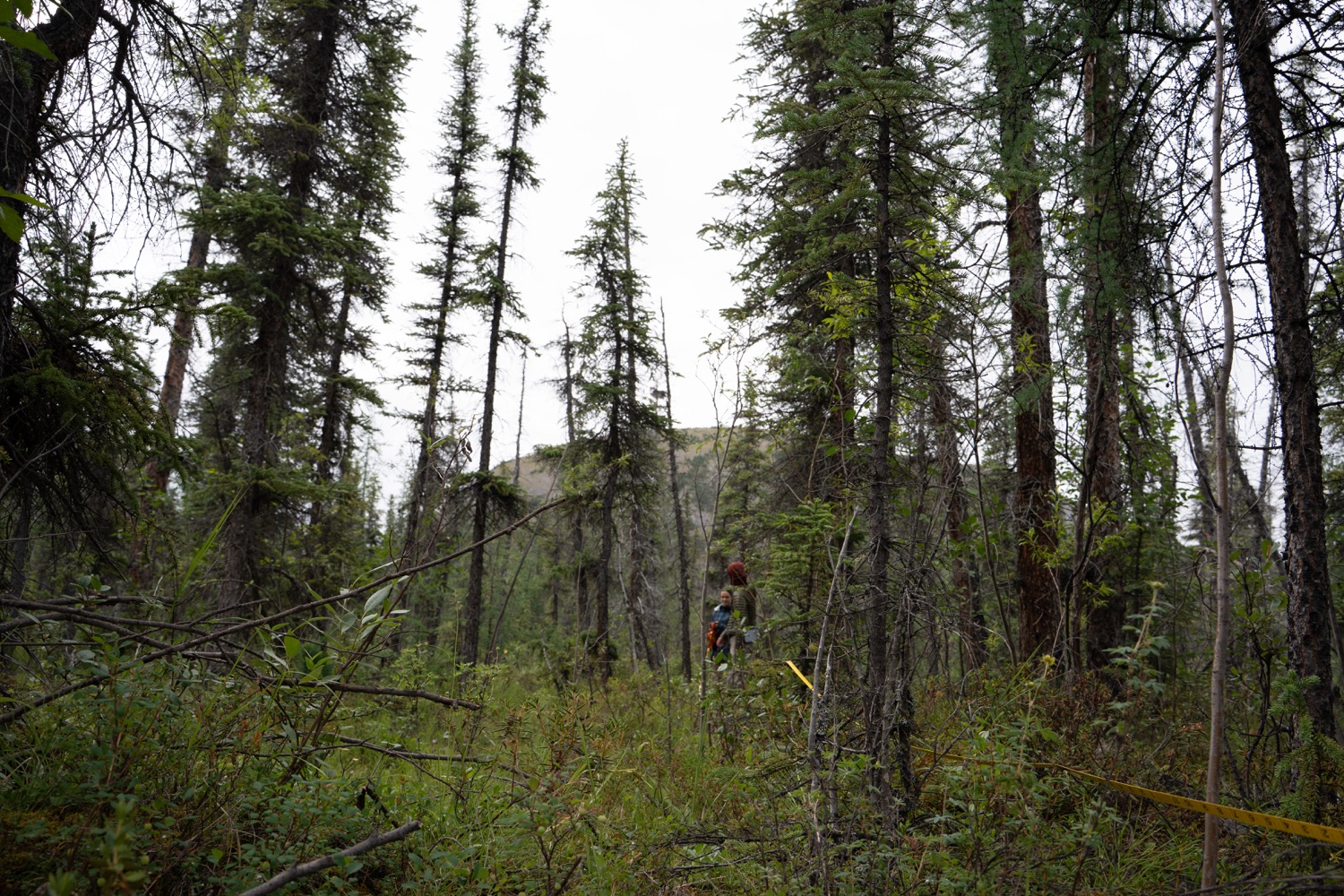
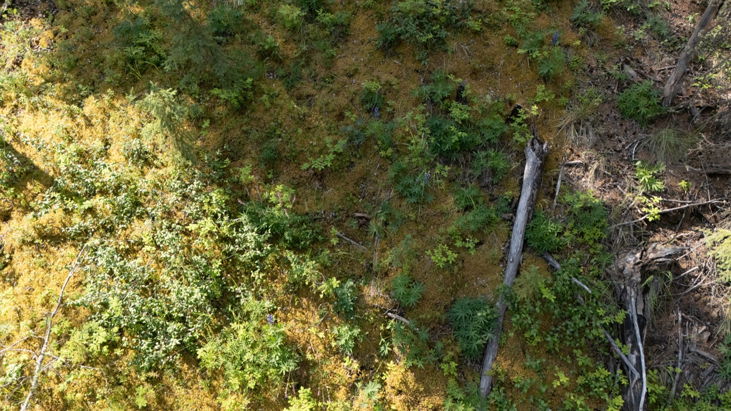
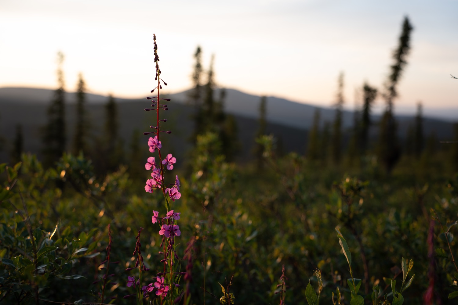
Field surveys
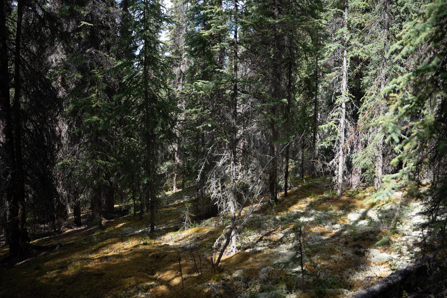
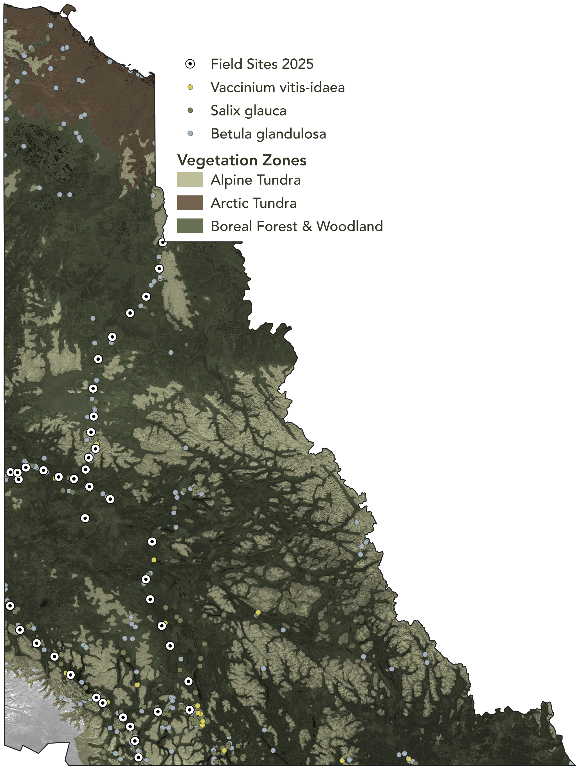
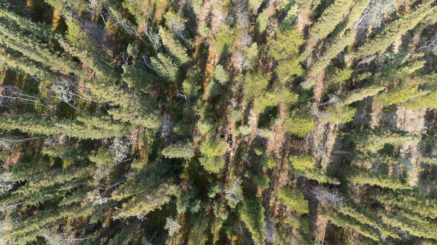
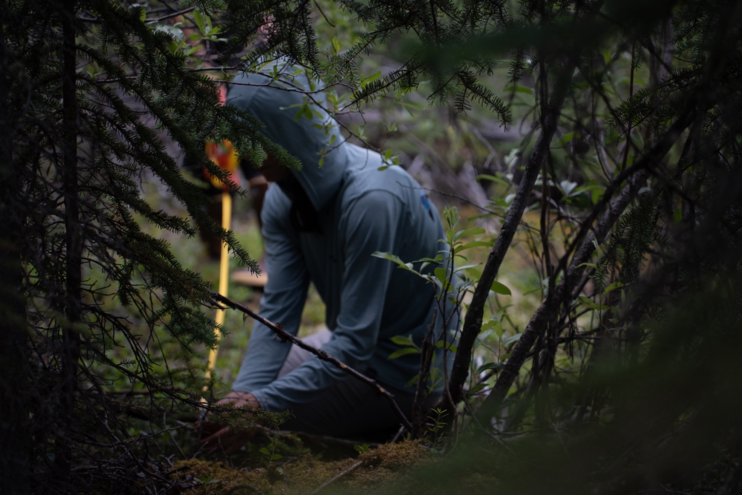
Boreal forest, treeline, and tundra sites across the Yukon Territory (summer 2025)
Occurrence data
Circumboreal occurrence records for 19 shrub species from GBIF
Climate data
High-resolution CHELSA climate data
Remote sensing
Landsat ABoVE tree canopy cover
SDM algorithms
MaxEnt, GLM, Random Forest, neural network
Statistical framework
Spatial block cross-validation; model comparison across climate scenarios
Field Work
Supervised by Dr. Isla Myers-Smith (UBC) · Committee: Dr. Jennifer Williams (UBC), Dr. Adam Smith (Missouri Botanical Garden)